


India Satellite Weather

Beschreibung von India Satellite Weather
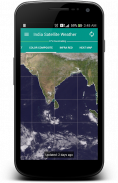
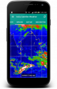
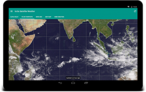
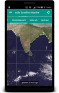
"Ein Bild sagt mehr als tausend Worte". Eine komplexe Wetterdaten können problemlos mit einer Bildkarte vermittelt werden. Durch die Beobachtung der Wolkenformationen rund um Ihre Stadt, können Sie leicht vorhersagen, ob der Tag Hot oder Rainy / bewölkt sein wird.
Es ist sehr gut mit Daten-Caching-Funktionen ausgestattet und wird nie doppelte Daten vom Server herunterladen. Die heruntergeladenen Wetterkarten werden lokal gespeichert und können offline abgerufen.
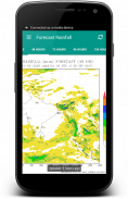
Diese Anwendung holt die Wetterkarten direkt aus der indischen Meteorological Department (www.imd.gov.in) und CIMSS [USA] (http://cimss.ssec.wisc.edu)
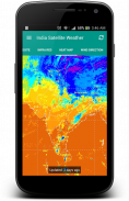
Zur Info: Ich habe keine Kontrolle über die fehlenden nordindischen Region einiger Kartentypen wirklich, weil sie von den USA Meteorological Department zur Verfügung gestellt werden.
Dies ist eine Open-Source-Anwendung: https://github.com/Shahul3D/IndiaSatelliteWeather
Fühlen Sie sich frei zu tragen!

India Satellite Weather – APK Informationen
APK Version: 5.0.6Paket: com.shahul3d.indiasatelliteweatherNeueste Version von India Satellite Weather
Weitere Versionen


Apps in derselben Kategorie

Das könnte dir auch gefallen...


